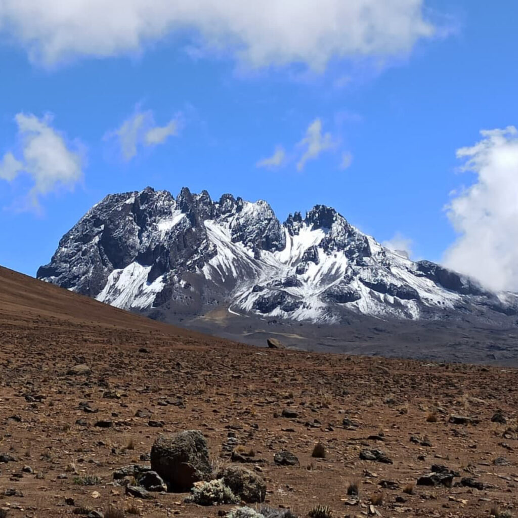
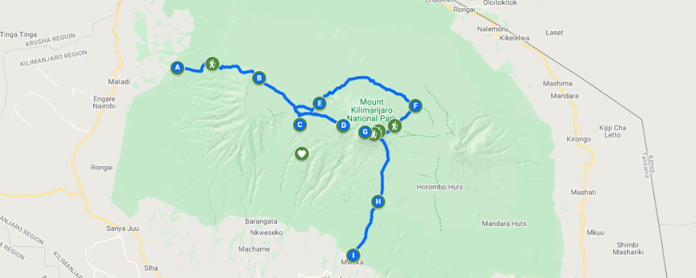
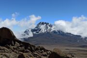
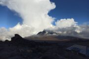
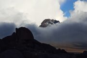
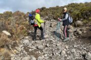
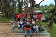
The northern circuit is the newest route up to the summit and also is the longest one. It is highly praised by guides and trekkers as one, for its ideal conditions and high success rate of reaching the summit. The total length of the route is 90 km, far longer than the second-longest, Lemosho with length of 56 km.

The first part of this route is similar to the Lemosho route, but then the trail turns to circle the summit with a northern loop, after which Uhuru peak is conquered from the east. The result is you will see a lot of Kilimanjaro mountain area, that you will have a long walking days, and a lot of time for acclimatization.

The climbers overnight during this route in tents and the trek can be done by 8-9 days.


INCLUSIONS
All the transfers to the mountain gate and back to your accommodation
Professional, experienced and English speakers (you can request for other language) mountain guides, mountain porters (according to group size) and a professional cook
Government park fees (with 18% VAT), including entrance fees, rescue fees, accommodation fees
Waterproof, four-season high quality mountain sleeping tents (twin tents)
Quality mess tents with table and chairs
Warm sleeping bags
Sleeping mattress
Emergency oxygen cylinder
3 meals a day during the trek days, according to client’s preferences (breakfast, lunch and dinner)
Clean, purified drinking water (unlimited supply)
EXCLUSIONS
International and local flights
Tanzania visa
Surcharge for payment by credit card (5% on each payment)
Surcharge for cash withdrawal charged by the banks
Accommodations before and after the trek (available as extra addition)
Airport transfers (available as extra addition)
Traveling insurance
Tips and gratitudes
Personal hiking equipment such as hiking boots, clothes etc. (available for renting)
Personal expenses (such as laundry, telephone, beverages)
0

Day 0 : Breafing Day

If you just arrived in Kilimanjaro airport one day or more before the trek and you choose to use transfer service, we will pick you up from the airport directly to your accommodation in Arusha/Moshi.

A day before the hike used for briefing about the whole trek. Checking of the equipments and everything regarding the hike, Meeting with the Head guide to answer all of your questions etc. so it is advised to arrive at least one day before the hike for all the arrangments etc

1

Day 1 : Londorossi Gate To Mti Mkubwa Camp

After breakfast at the hotel, we depart from Arusha/Moshi heading to Londorossi gate, which takes around 4 hours from Moshi and 5 hours from Arusha. At the gate you will complete all the entry formalities and then you will be heading to the starting point of the trail, which takes another hour drive in a forest road which required 4WD vehicle.

From the trailhead we will start hiking through untouched rainforest which lead us to the first campsite  called “MTI MKUBWA” (the big tree in Swahili). Resting time, dinner and overnight at Mti Mkubwa camp.

Elevation: 2,100/6,890ft at Lemosho gate to 2,650m/8,694ft at Mti Mkubwa camp

Walking distance: 7km/4.35 miles

Estimate walking time: 3-4 hours

Habitat: montane forest

2

Day 2 : Mti Mkubwa Camp To Shira 2 Camp

After breakfast, we continue as the trail become steeper, the trail leading out of the forest and into moorland of tall grasses, heather, and volcanic rocks draped with lichen beards. We will cross several streams and then we will reach Shira ridge, and then gently downwards to Shira 1 camp, located by a stream on the Shira plateau.

Elevation: 2,650m/8,694ft at Mti Mkubwa camp to 3,610m/11,844ft at Shira 1 camp

Walking distance: 7km/4.35 miles

Estimate walking time: 3-4 hours

Habitat: montane forest and moorland

3

Day 3 : Shira 1 Camp To Shira 2 Camp

On this day we are hiking the Shira plateau. We continue ascending gently across the plateau leads to Shira 2 camp, where we will spend overnight. We suppose to arrive early in the day at the campsite, what gives us an opportunity to explore the plateau even more. Variety of hikes are available on the plateau, making this an excellent acclimatization day.

Elevation: 3,610m/11,844ft at Shira 1 camp to 3,850m/12,631ft at Shira 2 camp

Walking distance: 7km/4.3 miles

Estimate walking time: 3-4 hours

Habitat: Moorland

4

Day 4 : Shira 2 Camp To Lava Tower To Moir Camp

From Shira plateau we continue our way over a ridge as we pass the crossing trail that leads to the summit of Kibo. As we keep walking, our direction changes south-east towards “Lava Tower”.

We are climbing up the ridge of Lava Tower, also known as “Shark’s Tooth” at altitude of 4,600m.

Then we are descending on a trail towards Moir camp which joins us with the northern circuit. This is an important day of the trek as you will get to experience high altitude and then sleep low, which is good for acclimatization.

Elevation: 3,850m/12,631ft at Shira 2 camp to 4,600m/15,092ft at Lava Tower to 4,200m/13,780ft at Moir camp

Walking distance: 14km/8.7 miles

Estimate walking time: 5-7 hours

Habitat: Moorland to high alpine

5

Day 5 : Moir Camp To Buffalo Camp

After breakfast at Moir camp, we can start the day by an optional hike to the summit of Little Lent Hill at altitude of 4,375m, before returning to the main route. The path continuing as we follow a series of inclines and declines. At the end of this day we are finishing in lower altitude than we started, what makes this day relatively easy. We will reach Buffalo camp for resting, dinner and overnight. From the campsite you can see fantastic views over the plains north of the Kilimanjaro mountain.

Elevation: 4,200m/13,780ft at Moir huts camp to 4,020m/13,189ft at Buffalo camp

Walking distance: 12km/7.5 miles

Estimate walking time: 5-7 hours

Habitat: High alpine

6

Day 6 : Buffalo Camp To Third Cave Camp

We are starting the day climbing up to the Buffalo ridge, and then we are descending to Porfu camp where lunch is usually served. This section of the northern circuit has seen relatively few hiking boots which gives to the trekkers at this route special adventurous feeling. We keep on moving all the way to Third Cave camp. During this day we are losing altitude as well, which should help your body to adapt to the altitude.

Elevation: 4,020m/13,189ft at Buffalo camp to 3,800m/12,467ft at Third Cave camp

Walking distance: 8km/5 miles

Estimate walking time: 5-7 hours

Habitat: High alpine to moorland

7

Day 7 : Third Cave Camp To School Hut

This day of the hike involves a steady incline up and over the northern ‘saddle’ which sits between the peaks of Kibo and Mawenzi. As we reach school hut, we pretty much finished the northern circuit of the mountain. After arriving at School Hut, you will be served an early dinner, and then preparing and resting before the summit hike on this upcoming night.

Elevation: 3,800m/12,467ft at Third Cave camp to 4,800m/15,748ft at School Hut

Walking distance: 10km/6.2 miles

Estimate walking time: 5-6 hours

Habitat: Alpine desert

8

Day 8 : School Hut To Summit To Mweka Camp

Your guide will wake you up between 11pm to 12am for a short preparation for the summit hike, you will be given some hot drinks and some light snacks, you will put few more layers of clothes, hiking boots and head torch and start a hike to the summit, you will be accompanied with the head guide and few Porters. This is the steepest and the toughest part of the trek, most of the climbers feel the altitude sickness at its peak at this stage, with symptoms such as Headache, nausea, vomiting, dizziness etc  there are some points before the summit which people usually use as resting point such as Williams point (a big rock) marks the 5,000m/16,400ft, The Hans Meyer Cave which lies at 5,150m/16,900ft,  Giman’s point at 5,681m/ 18,640ft, Stella Point at 5,685m/ 18,652ft. From Gilman’s point you will reach the glaciers landscape of mount Kilimanjaro. Along the way you will be to watch breathtaking views of the unique glaciers of the mountain and all the area below the mountain.

The last point of the hike, the summit, Uhuru point (meaning freedom point) at 5,895m/19,340ft. You can spend some time in the summit, enjoying the feeling of being on the top of Africa, take some pictures, and then start descending down to Barafu camp, eat breakfast and relax a bit before continue descending all the way to the Mweka camp, where you can take a rest, eat dinner and overnight at Mweka camp.

Elevation: 4,800m/15,748ft at School Hut to 5,895m/19,340ft at Uhuru, down to 3,100m/10,170ft at Mweka camp

Walking distance: 6km/3.7 miles up to summit; 12km/7.5 miles down to Mweka cam

Estimate walking time: 6-8 hours up to summit; 4-6 hours down to Mweka camp

Habitat: High alpine to arctic

9

Day 9 : Mweka Camp To Mweka Gate To Moshi/arusha

After breakfast at Mweka camp you continue descending all the way to Mweka gate where you will receive your certificate if you manage to reach Stella point and Uhuru point. From the gate, the transfer car will pick you up to take you back to your accommodation in Arusha/Moshi.

Walking distance: 10km/6.2 miles

Estimate walking time: 3-4 hours

Tour Reviews

There are no reviews yet.

Leave a Review

Rating