Rongai route is one of the easiest routes of mount Kilimanjaro, with a very high success rate of reaching the summit.

This is the only route that starts on the north side of the mountain, just a few kilometers south of the Kenyan border. This is also one of the least traveled routes, less crowded because of its remote location which offers the trekkers a unique wilderness experience where it is possible to see some wildlife animals like Elephants, antelope, Buffalo, etc. Another advantage of this route is that usually the hikers enjoying the clearest view of the mountain throughout the route.

Also, this route descends through the Marangu route, so the climbers are enjoying beautiful views of the mountain from different angles. This route also is camping throughout.


INCLUSIONS
All the transfers to the mountain gate and back to your accommodation
Professional, experienced and English speakers (you can request for other language) mountain guides, mountain porters (according to group size) and a professional cook
Government park fees (with 18% VAT), including entrance fees, rescue fees, accommodation fees
Waterproof, four-season high quality mountain sleeping tents (twin tents)
Quality mess tents with table and chairs
Warm sleeping bags
Sleeping mattress
Emergency oxygen cylinder
3 meals a day during the trek days, according to client’s preferences (breakfast, lunch and dinner)
Clean, purified drinking water (unlimited supply)
EXCLUSIONS
International and local flights
Tanzania visa
Surcharge for payment by credit card (5% on each payment)
Surcharge for cash withdrawal charged by the banks
Accommodations before and after the trek (available as extra addition)
Airport transfers (available as extra addition)
Traveling insurance
Tips and gratitudes
Personal hiking equipment such as hiking boots, clothes etc. (available for renting)
Personal expenses (such as laundry, telephone, beverages)
0

Day 0 : Breafing Day

If you just arrived in Kilimanjaro airport one day or more before the trek and you choose to use transfer service, we will pick you up from the airport directly to your accommodation in Arusha/Moshi.

A day before the hike used for briefing about the whole trek. Checking of the equipments and everything regarding the hike, Meeting with the Head guide to answer all of your questions etc. so it is advised to arrive at least one day before the hike for all the arrangements etc

1

Day 1 : Rongai Gate To Simba Camp

After breakfast at the hotel in Arusha/Moshi start a drive to the starting point of Rongai route which is at Nale Moru gate, around 3 hours from Moshi and about 6 hours from Arusha. on the way you will stop at Marangu gate for permits and registration. Then continue all the way to the gate (Nale Moru) to start the hike. The first day is mostly passing through a forest and then later reaching at the edge of Moorland zone with extensive views of Kenyan plain, you will rest, dinner and overnight at Simba camp.

Elevation: 2,364m/7,756ft at Rongai gate to 2,671m/8,763ft at Simba camp

Walking distance: 7kms/4.35miles

Estimate walking time: 3 -4 hours

Habitat: Montane forest

2

Day 2 : Simba Camp To Second Cave Camp

After breakfast, we continue ascending through the moorland terrain and along the way you will see some views of Kibo peak and also see some ice fields on the eastern part of the crater rim, as you approach near the second cave the temperature begins to drop down. Resting, dinner and overnight at Second cave camp.

Elevation: 2,671m/8,763ft at Simba camp to 3,450m/11,319ft at Second cave camp

Walking distance: 8kms/ 5 miles

Estimate walking time: 3-4 hours

Habitat: Moorland

3

Day 3 : Second Cave To Kikelewa Camp

The hike continuing as we are walking through a small trail leading us towards the jagged peaks of Mawenzi. We will descend into Kikelewa valley, you will be able to see some amazing caves alongside the Kikelewa river with a beautiful flourishing around.

Kikelewa campsite is in a sheltered valley, usually on the evening time, when the skies are getting clear you will be able to see amazing view of the peak of Kibo.

Elevation: 3,450m/11,319ft at Second cave camp to 3,600m/11,811ft at Kikelewa camp

Walking distance: 9km/5.6 miles

Estimate walking time: 2-3 hours

Habitat: moorland and semi-desert

4

Day 4 : Kikelewa Camp To Mawenzi Tarn Camp

A short but steep climb up grassy slopes is rewarded by superb views. This part is short as we are walking 3.75km, but very steep as we gain 627m of altitude. We are moving into an alpine desert terrain shortly before we will reach Mawenzi Tarn camp. The camp situated right beneath the spectacular towering spires of Mawenzi peak. We usually reach the campsite in mid-day time, which give as a time to explore the surrounding area as well as acclimatizing.

Elevation: 3,600m/11,811ft at Kikelewa camp to 4,315m/14,157ft at Mawenzi Tarn camp

Walking distance: 3.75km/2.33 miles

Estimate walking time: 2-3 hours

Habitat: Alpine desert

5

Day 5 : Mawenzi Tarn To Kibo Huts

Beautiful part of Rongai route, crossing the lunar desert of the ‘saddle’ between Mawenzi and Kibo to reach Kibo huts campsite at the bottom of the Kibo crater. Along the way you will be able to see some incredible views. After reaching Kibo huts, the rest of the day focusing on preparation for the final ascent to the summit.

Elevation: 4,315m/14,157ft at Mawenzi Tarn camp to 4,700m/15,420ft at Kibo huts camp

Walking distance: 9km/5.6 miles

Estimate walking time: 4-5 hours

Habitat: Alpine desert

6

Day 6 : Kibo Huts To Summit To Horombo Huts

Your guide will wake you up between 11pm to 12am for a short preparation for the summit hike, you will be given some hot drinks and some light snacks, you will put few more layers of clothes, hiking boots and head torch and start a hike to the summit, you will be accompanied with the head guide and few Porters. This is the steepest and the toughest part of the trek, most of the climbers feel the altitude sickness at its peak at this stage, with symptoms such as Headache, nausea, Vomiting, dizziness etc  there are some points before the summit which people usually use as resting point such as Williams point (a big rock) marks the 5,000m/16,400ft, The Hans Meyer Cave which lies at 5,150m/16,900ft,  Gimans point at 5,681m/ 18,640ft, Stella Point at 5,685m/ 18,652ft. From Gilmans point you will reach the glaciers landscape of mount Kilimanjaro. Along the way you will be to watch breathtaking views of the unique glaciers of the mountain and all the area below the mountain.

The last point of the hike, the summit, Uhuru point (meaning freedom point) at 5,895m/19,340ft. You can spend some time in the summit, enjoying the feeling of being on the top of Africa, take some pictures, and then start descending all the way down to Kibo huts, get some rest and lunch, and keep on descending to Horombo huts for resting, dinner and overnight.

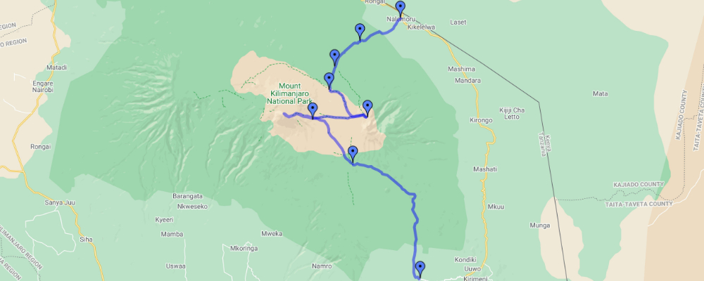
Elevation: 4,700m/15,420ft at Kibo huts to 5,895m/19,340ft at Uhuru peak to 3,700m/12,140ft at Horombo huts

Walking distance: ascending from Kibo to Uhuru 5.5 km/3.4miles; descending from summit to Horombo 15 km/9.3 miles

Estimate walking time: 6-8 hours up; 5-6 hours down.

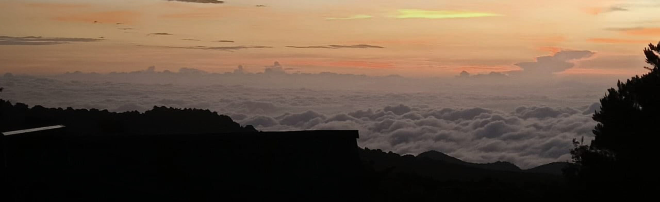
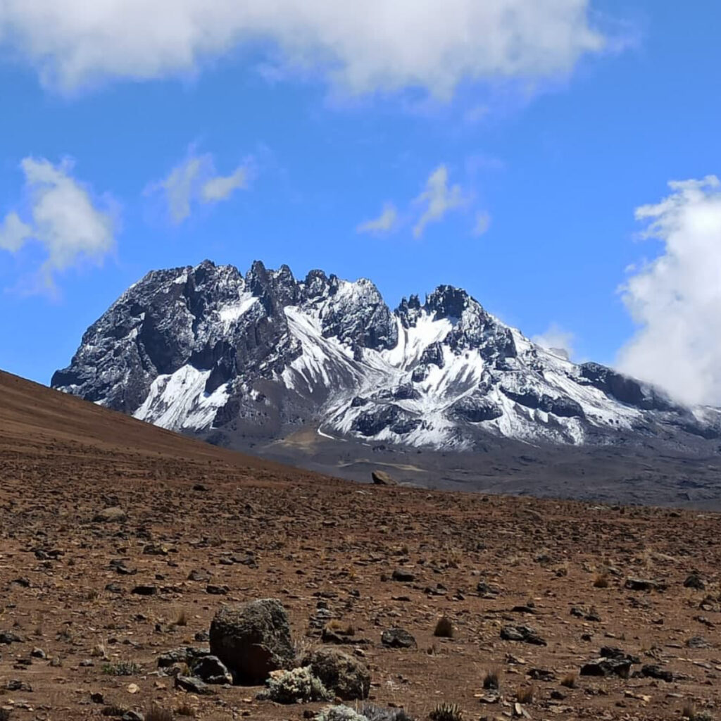
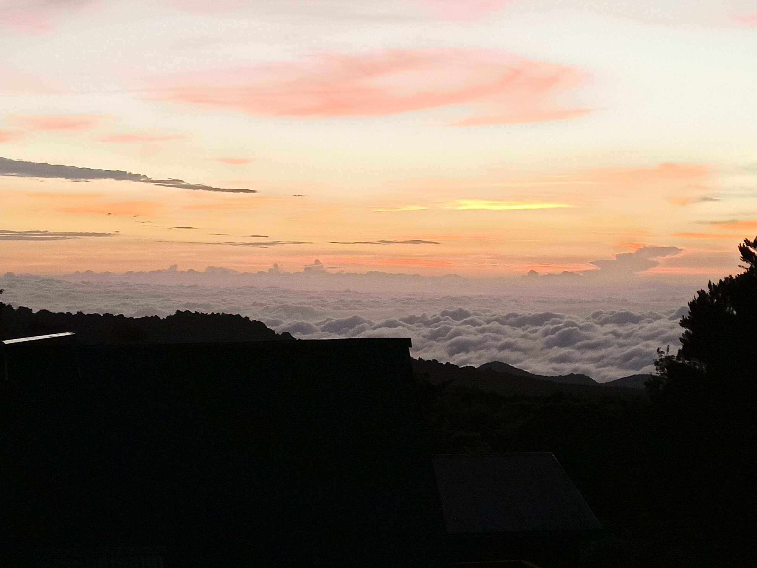
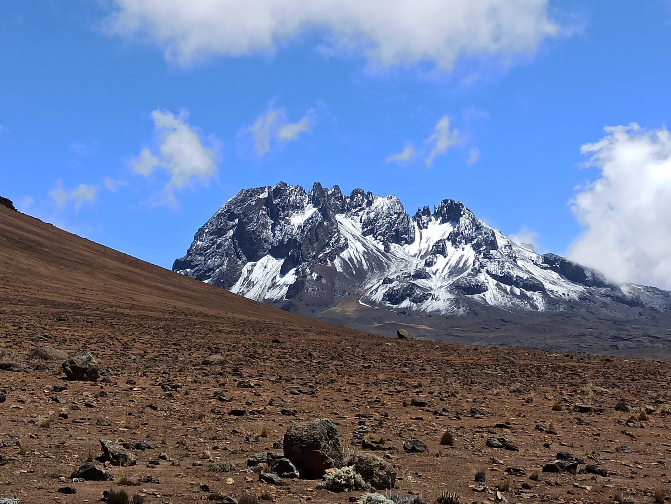
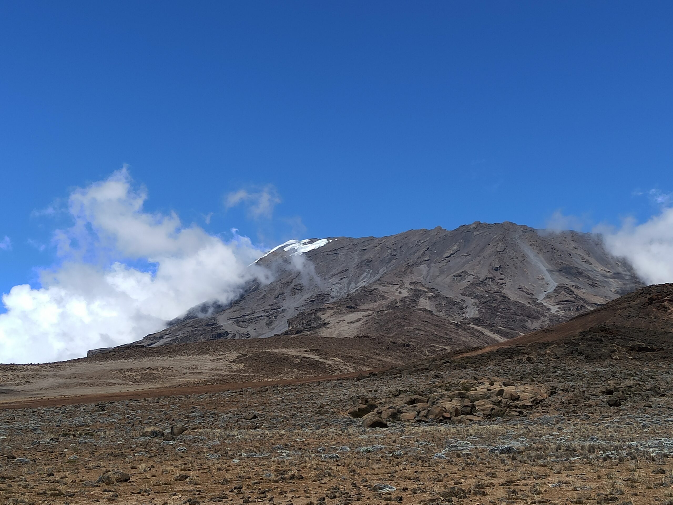
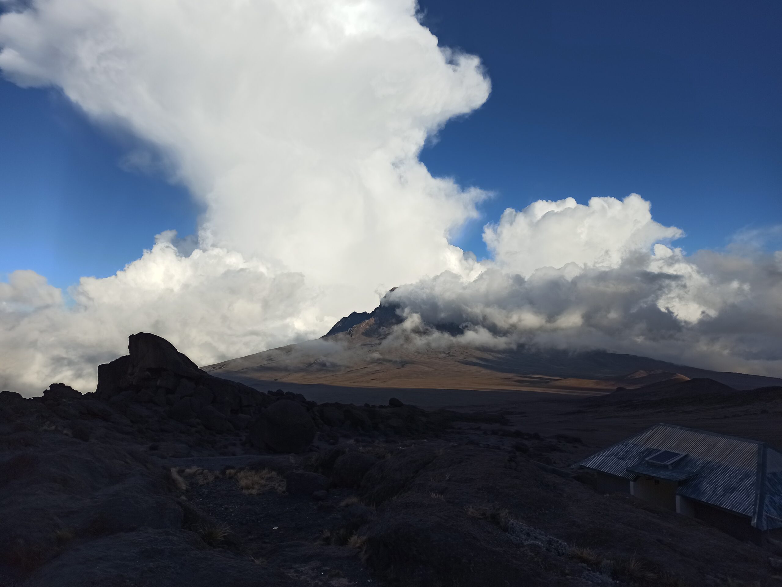
Habitat: Alpine desert and glaciers.

7

Day 7 : Horombo Huts To Marangu Gate

This is the last day of the hike, after breakfast you start descending all the way to Marangu gate, along the way you will have a stop for lunch (lunch box). The car will be ready to take you from the gate to the hotel in Moshi or Arusha.

Walking distance: 20km/12.5 miles

Estimate walking time: 4-5 hour

Tour Reviews

There are no reviews yet.

Leave a Review

Rating